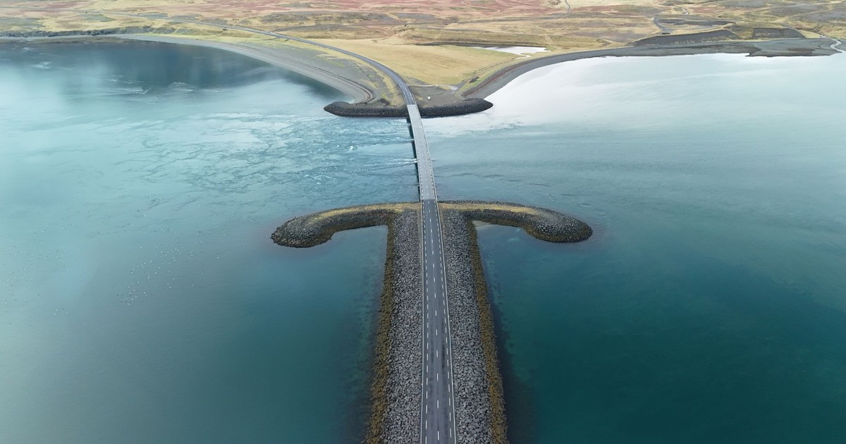

The planet has always been in motion. Coastlines crumble. Rivers change course. Volcanoes erase whole valleys in a single night. Most of the time, these shifts happen so gradually that no living person notices them. But every so often, something that felt permanent, something that appeared on postcards and in travelers’ journals and in the dreams of people who had never seen it in person, simply stops existing. There one year, gone the next.
These lost natural wonders span centuries and continents. Some were swallowed by lava, some drowned by human ambition, some toppled by storms, some worn down to nothing by the same forces that built them in the first place. A few disappeared within living memory, which makes their absence feel sharper somehow. You can pull up a photograph on your phone from ten years ago, and then stand at the spot where it was taken and see nothing but rubble or open water.
What follows is not a list of things under threat. Everything on this list is already gone. They are ordered not by size or fame but loosely by how they were lost, starting with the natural world’s own slow violence and moving toward the faster, more jarring disappearances.
1. The Pink and White Terraces, New Zealand
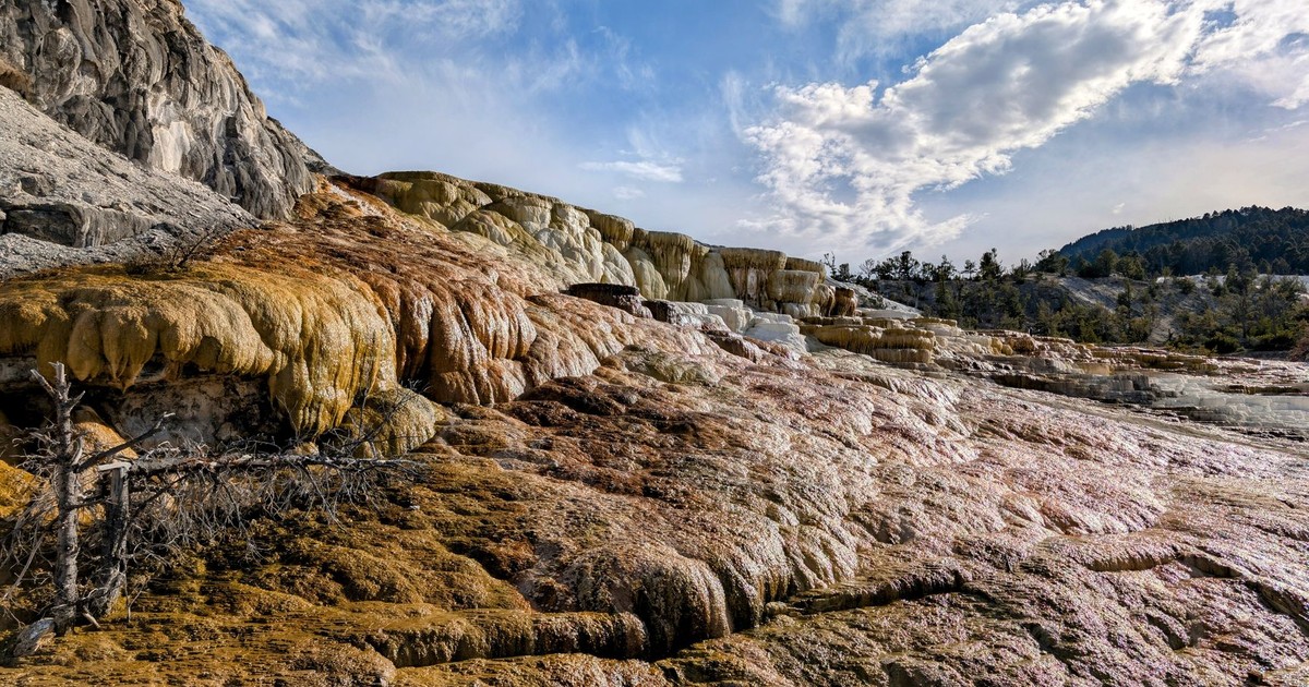
Before color photography existed, painters traveled to the shores of Lake Rotomahana on New Zealand’s North Island and came back with canvases that looked like something from a fairy tale. Stepped pools of pale silica, flushed pink on one side and white on the other, descended to the water’s edge like a frozen wedding cake. The terraces became New Zealand’s most famous tourist attraction, sometimes referred to as the Eighth Wonder of the World. Visitors arrived from across the British Empire on steamers and horse-drawn coaches and canoes, just to see something that defied description.
The White Terraces were believed to have been the largest silica-based terraces in the world, descending from a geyser-fed spring over a height of roughly 30 meters and a distance of 244 meters, covering an area of 2.8 hectares. The pink coloring on the smaller formation came from sulfides dissolved in the geothermal water as it cooled and settled. Nothing else on Earth looked quite like it.
Then, according to NZ History, in the early hours of June 10, 1886, Mount Tarawera erupted, killing up to 150 people and burying the famed Pink and White Terraces on Lake Rotomahana. After the eruption, a crater over 100 meters in depth encompassed the former site of the terraces. Over some years this filled with water to form a new Lake Rotomahana, 30 to 40 meters higher, ten times larger and deeper than the original. The terraces were simply buried. A recent, ongoing body of research has raised the possibility that portions of the White Terraces may still lie beneath the lake’s current shoreline, waiting to be excavated. For now, they remain one of the most magnificent things the world has ever lost.
2. Guaíra Falls, Brazil and Paraguay
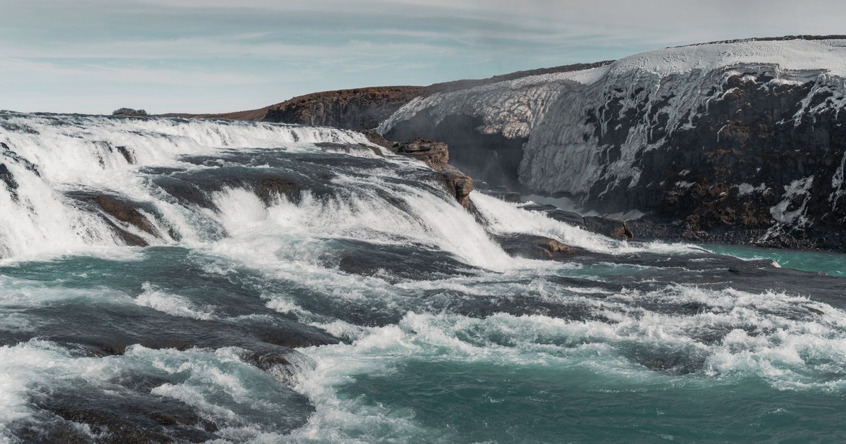
For sheer volume of water, nothing on Earth matched Guaíra Falls. Situated on the border of Brazil and Paraguay, the falls were believed to produce the greatest volume of falling water in the world. The roar was so loud it could be heard 20 miles away, and there was a constant rainbow over the site. With twice the flow of Niagara, Guaíra was a popular tourist attraction. People came from across South America to stand at the edge and feel the ground shake beneath them.
According to La Brújula Verde, the 18 falls that formed the Guaíra were distributed across 7 groups, with the largest reaching 40 meters in height. An agreement between Brazil and Paraguay in 1973 to build a joint hydroelectric dam condemned the falls to disappear under the resulting reservoir. On October 13, 1982, when the dam was finished, the closing of the floodgates began to bury one of the greatest shows on the planet. In 14 days, the Guaíra Falls had disappeared forever. The Brazilian government, aware of what was about to be lost, blew up the surrounding rock formations beforehand so that no one could ever reach the now-submerged site by foot.
The Itaipú Dam is, by any measure, an extraordinary piece of engineering, supplying a significant portion of both Brazil’s and Paraguay’s electricity needs. But the exchange rate is still breathtaking to consider. The largest waterfalls by volume in recorded history, traded for a power plant. Whether that was the right decision is a question each generation has to answer for itself.
3. The Aral Sea, Central Asia
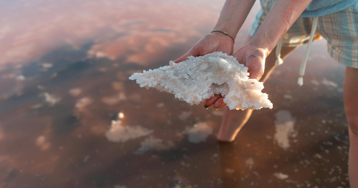
In 1960, the Aral Sea was the fourth-largest lake in the world, a shimmering inland body of water straddling the border of Kazakhstan and Uzbekistan. Fishing communities had lived on its shores for generations. Its surface covered more than 68,000 square kilometers. By the early 2000s, it had split into smaller remnants, and the forces of wind, water, and human decision-making had relentlessly conspired to transform what had been familiar terrain into something almost unrecognizable.
Soviet irrigation projects beginning in the 1960s diverted the two rivers that fed the Aral Sea, the Amu Darya and Syr Darya, to water cotton fields across the region. The lake received less and less input, and the water began to evaporate faster than it was replenished. The salt concentration rose, killing off the fish. The fishing industry collapsed. The boats that once worked the water were left stranded on dry land miles from any water, rusting in what is now a desert.
The ecological consequences spread far beyond the shoreline. The exposed lakebed, saturated with salt and agricultural pesticides, became a source of toxic dust storms that blow across the region, affecting the health of millions of people. What had been a natural wonder and a living ecosystem became one of the most dramatic environmental disasters of the twentieth century, and a cautionary tale that still hasn’t been fully absorbed.
4. Okjökull Glacier, Iceland
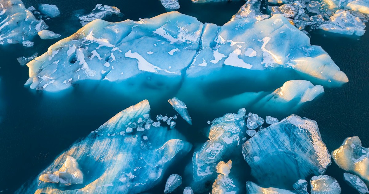
Around a century ago, Okjökull glacier in western Iceland covered six square miles and was more than 160 feet thick. Situated at the top of the Ok volcano, the glacier was thought to have existed for around 700 years and had been monitored closely by the Icelandic Meteorological Office for several decades. It was part of the country’s identity, part of the landscape that Icelanders grew up looking at and drinking from.
According to glaciologist Oddur Sigurdsson, snow had been melting on it faster than it could build up. In 2014, the glacier was officially declared dead. This might sound like a strange description for ice. But glaciers work by accumulating snow, which creates enough pressure for them to move, and since Okjökull had reduced to a thickness that meant it could no longer move, it was pronounced dead.
In 2019, Iceland held what was essentially a funeral for ice. NBC News reported that with poetry, moments of silence, and political speeches about the urgent need to fight climate change, Icelandic officials, activists, and others gathered to say goodbye to what once was a glacier. After about 100 people made a two-hour hike up the volcano, children installed a memorial plaque. The plaque carried a note to future generations that acknowledged what had happened and posed a simple question: “Only you know if we did it.” Okjökull was the first named Icelandic glacier to lose its status. Glaciologists expect all of Iceland’s remaining glaciers to be gone within 200 years.
5. Darwin’s Arch, Galápagos Islands
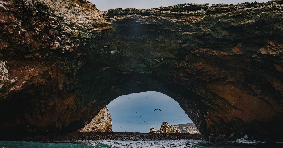
Darwin’s Arch was a natural stone bridge rising from the ocean near Darwin Island, the most remote point in the Galápagos archipelago. It was named in honor of Charles Darwin, and it drew divers and naturalists who made the long journey to the islands partly just to see it. The surrounding waters are some of the richest in the Pacific: whale sharks, hammerhead sharks, and manta rays passed beneath it in numbers that seemed almost implausible.
In May 2021, Darwin’s Arch collapsed into the ocean. Ecuador’s Environment Ministry confirmed that tourists on a boat had witnessed the moment the top of the arch fell into the ocean, leaving behind two pillars of rock now renamed Darwin’s Towers. The ministry cited natural erosion as the cause.
The pillars that remain are still striking, still visited, still surrounded by extraordinary marine life. But there’s a difference between a natural arch framing the open ocean and two columns of rock standing where one used to be. What made Darwin’s Arch remarkable was its completeness, its improbable, sweeping shape, carved by waves over millions of years. That shape is gone, and the rocks that made it are scattered on the seafloor.
6. The Azure Window, Malta
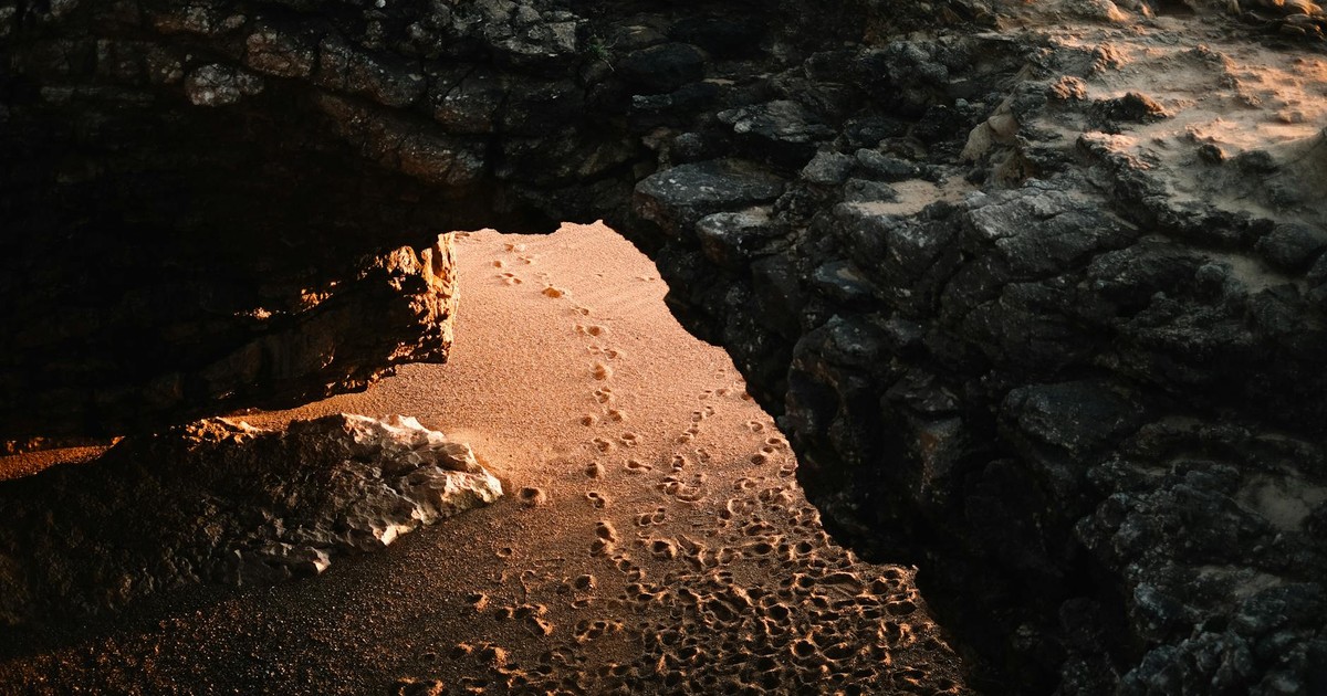
Malta’s Azure Window was a limestone arch that rose from the sea off the island of Gozo, its opening framing a rectangle of turquoise water that looked almost too perfectly composed to be real. It was a towering limestone arch that rose from the turquoise Mediterranean Sea and became an icon after appearing in films, TV shows, and countless photographs. Harsh storms battered the fragile formation for years. In March 2017, it finally collapsed into the water.
The Azure Window had featured in the early seasons of Game of Thrones, which gave it a global audience who had never heard of Gozo but recognized the formation immediately. After it fell, Maltese social media flooded with tributes. Scientists and geologists had warned for years that it was deteriorating. The base had been thinning, cracks had been spreading, and several smaller collapses had already occurred. None of that made its final disappearance feel any less abrupt.
What’s left at Dwejra Bay is still beautiful, in the way that dramatic coastlines always are. But a generation of travelers now arrives at the spot and looks at the sea where an arch used to stand, armed with photographs of something they can no longer see.
7. The Wall Arch, Arches National Park, USA
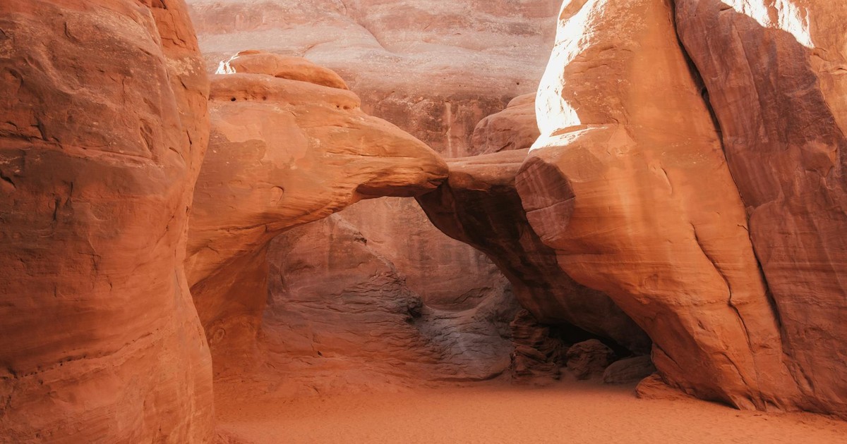
Most people think of rock arches as permanent features of the American Southwest. The geological timescales involved are so immense that human lifetimes don’t really register against them. Which made it genuinely startling when the Wall Arch in Arches National Park collapsed, a reminder that all such features are temporary.
The Wall Arch fell in August 2008 without warning, in the middle of the night. Rangers arrived the next morning to find two large piles of stone where the arch had stood. It had been one of the larger arches in the park, spanning 71 feet and standing 33 feet high. Nobody saw it happen. The same processes of water infiltration, freeze-thaw cycling, and gravity that shape these formations are the same forces that eventually bring them down, on a schedule that doesn’t consult anyone.
The National Park Service acknowledged that all arches are temporary features and that all will eventually succumb to gravity and erosion. What made this one notable was the speed of it: a span that had endured for thousands of years was simply gone by morning. Arches National Park still holds hundreds of named arches. The Wall Arch will not be the last to fall.
8. The Sycamore Gap Tree, England
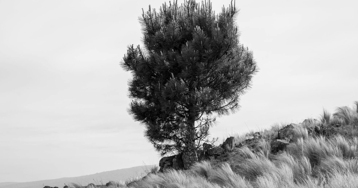
On Hadrian’s Wall, the ancient Roman boundary that once divided the wild north from the province of Britannia, a single sycamore tree had been growing in a dramatic dip in the landscape for more than 300 years. It sprouted from a dip in the ancient Roman wall in northern England close to Hexham, and had graced the landscape for more than 300 years, visited by millions of people and becoming one of the UK’s most photographed trees. It appeared in the 1991 film Robin Hood: Prince of Thieves. It won the BBC’s “Tree of the Year” competition. It was, by any measure, a national treasure.
National park authorities found the tree had been cut down using a chainsaw in a deliberate act of vandalism in September 2023, with just the stump left at the spot. A 16-year-old and a 60-year-old were later charged. The Northumberland community was devastated in a way that surprised even those who considered themselves non-sentimental about trees. People left flowers at the stump. Social media filled with grief.
The tree’s twigs and seeds have been used to nurture new saplings in a secret location, so that the tree may be regrown if no new shoots emerge from its original stump. The stump itself did begin to show signs of life in 2024, with some small shoots emerging. So this story may not be entirely finished. But the tree as it was, standing alone against the Northumberland sky, that specific image is gone.
9. The Pioneer Cabin Tunnel Tree, California
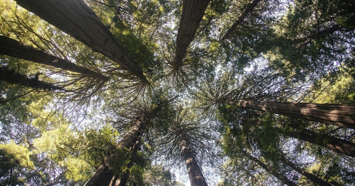
The giant sequoias of California’s Sierra Nevada are the largest trees on Earth by volume, and for much of the nineteenth and early twentieth centuries, developers and tourism promoters treated them as natural spectacles to be exploited. The Pioneer Cabin tunnel tree in Calaveras Big Trees State Park was one of several colossal trees that were cut in the 1800s to boost California’s tourist industry. A tunnel wide enough to drive a stagecoach through was carved directly through its living trunk, and for decades, visitors posed for photographs inside the living giant.
The tree survived this indignity for well over a century. Then, in January 2017, a major storm hit California. The Pioneer Cabin tree, already weakened by root damage and by the old wound carved through it, toppled under the weight of the rain and snow. Rangers arrived to find it stretched across the trail, the tunnel still visible in the fallen trunk.
It’s worth sitting with the strangeness of that history: a tree that was thousands of years old and survived everything nature could throw at it finally fell partly because of a hole humans had bored through it for entertainment. The other tunnel trees of the Sierra Nevada are still standing, but the Pioneer Cabin was the most famous, the one on the postcards, the one people drove hours to photograph from inside.
10. The Old Man of the Mountain, New Hampshire
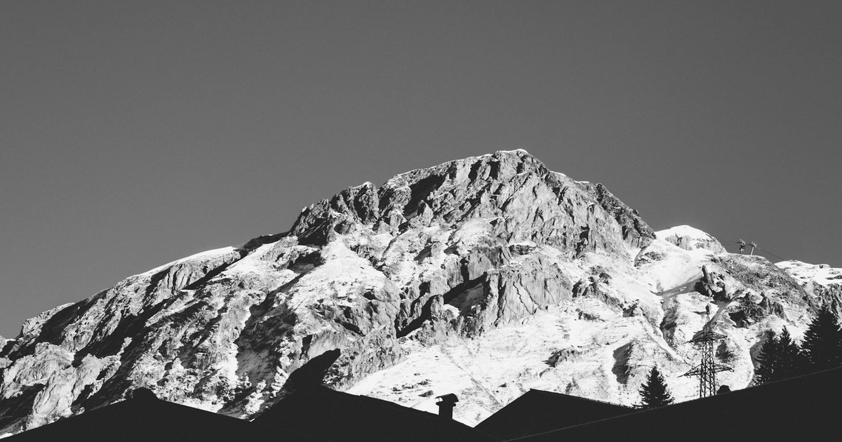
The granite profile of the Old Man of the Mountain looked out from a cliff face in Franconia Notch in New Hampshire’s White Mountains for thousands of years. From the right angle, the arrangement of five separate rock ledges created an unmistakable human profile: a forehead, a nose, a jutting chin. The legendary granite rock face collapsed in 2003. The 6,530-metric-ton angular rocky outcrop stood nearly 45 feet tall and 30 feet wide on a mountainside in a climate prone to freeze-thaw corrosion.
The Old Man was New Hampshire’s state symbol. It appeared on the state quarter. It was photographed by generations of visitors who pulled off Interstate 93 just to catch the profile from the designated viewing spot. Nathaniel Hawthorne wrote a story about it. Daniel Webster reportedly said of the formation that God had built a man in the mountains to show that men should be noble. Then, on May 3, 2003, during a night of freezing temperatures and rain, it peeled away from the cliff and fell.
Several efforts to preserve the natural wonder had been made beginning from the early 1900s. Engineers had installed cables and turnbuckles and epoxy to hold the ledges together. It wasn’t enough. The state still uses the image of the Old Man on its signage, a ghost outline where a face used to be.
11. The Jeffrey Pine of Sentinel Dome, Yosemite
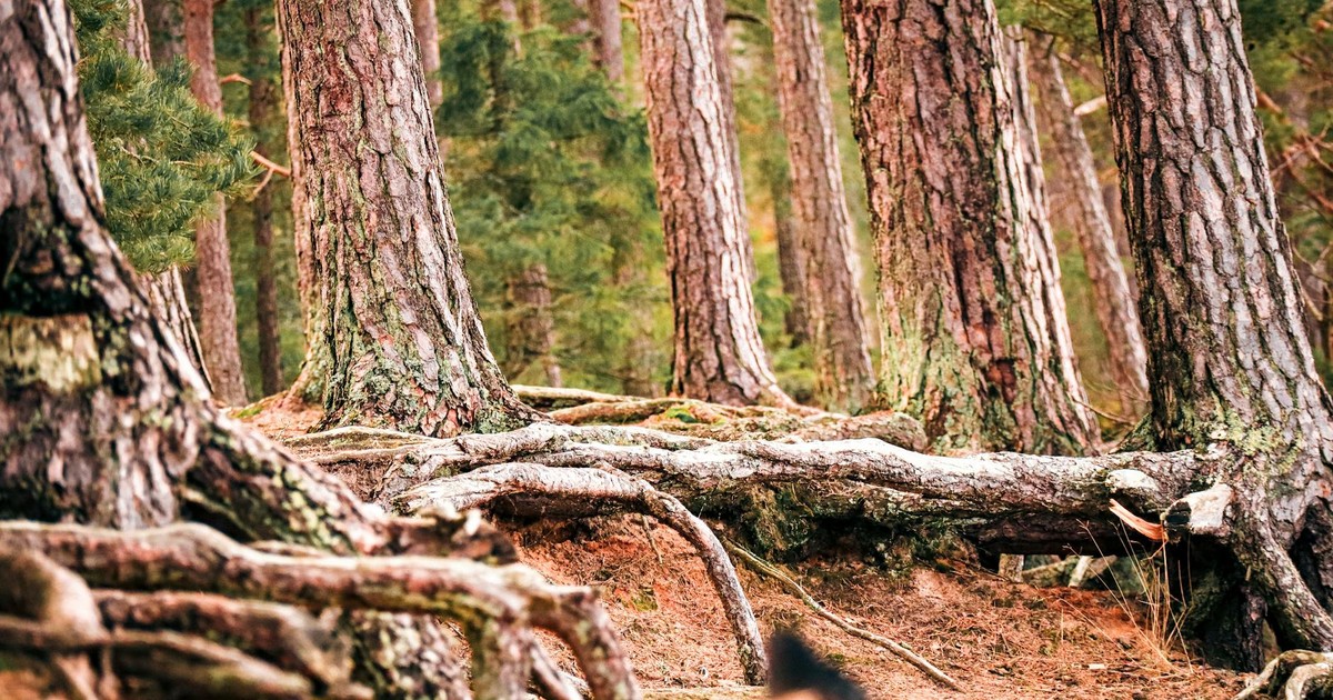
Ansel Adams photographed it in the 1940s, and that image made the gnarled, wind-sculpted pine atop Yosemite’s Sentinel Dome one of the most reproduced trees in American photography. The dead and wind-battered Jeffrey pine atop Sentinel Dome, made famous by Ansel Adams, finally toppled in 2003. The picturesque California tree was one of the world’s most photographed, appearing in glass plate images as early as the 1860s.
It’s a wonder the tree stayed erect as long as it did. It actually died during a drought in 1977, despite heroic efforts by Yosemite park rangers who carried buckets of water out to the remote location. For 26 years, the dead trunk stood in place, still providing the same dramatic silhouette against the Yosemite sky, still drawing photographers who hiked the mile-and-a-half trail to reach it. Then in August 2003, a series of storms brought it down.
After the tree fell over in 2003, the dead trunk was left there. Visitors can still find it lying on the granite dome. It’s a different kind of monument now, horizontal where it was once vertical, the bark slowly returning to the stone it grew from.
12. The Hetch Hetchy Valley, California
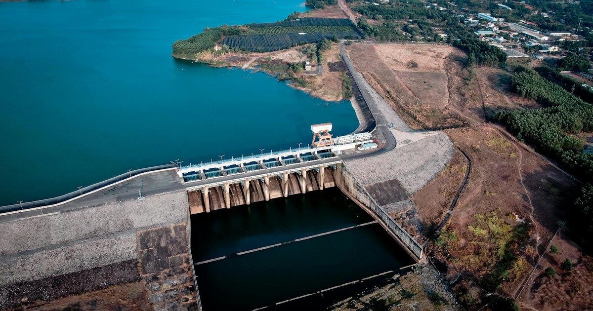
Before it was flooded, Hetch Hetchy was described by John Muir as a twin to Yosemite Valley itself. The Hetch Hetchy Valley’s beauty was compared with that of the nearby Yosemite Valley. The steep-sided, U-shaped valley was carved out over millennia by rivers and glaciers eroding the granite rock of the Sierra Nevada mountains. It had waterfalls, meadows, ancient oak groves, and granite walls that rivaled anything in the park.
In 1913, Congress approved plans to turn the valley into a reservoir which would supply water and hydroelectric power to San Francisco. The O’Shaughnessy Dam was completed in 1923, and the valley floor was submerged beneath what became the Hetch Hetchy Reservoir. Muir, who had fought the project bitterly until his death in 1914, never saw the flooding.
Nowadays, the valley floor is buried under 300 feet of deep water. The debate over whether to drain the reservoir and restore the valley has never fully gone away. Engineers have studied it, environmentalists have advocated for it, and the political and logistical obstacles remain enormous. Whether Hetch Hetchy will ever be reclaimed is genuinely uncertain. For now, one of North America’s most beautiful valleys sits at the bottom of a drinking-water supply for a major city.
13. Flower Pot Rock and Elephant Rock, Bay of Fundy, Canada
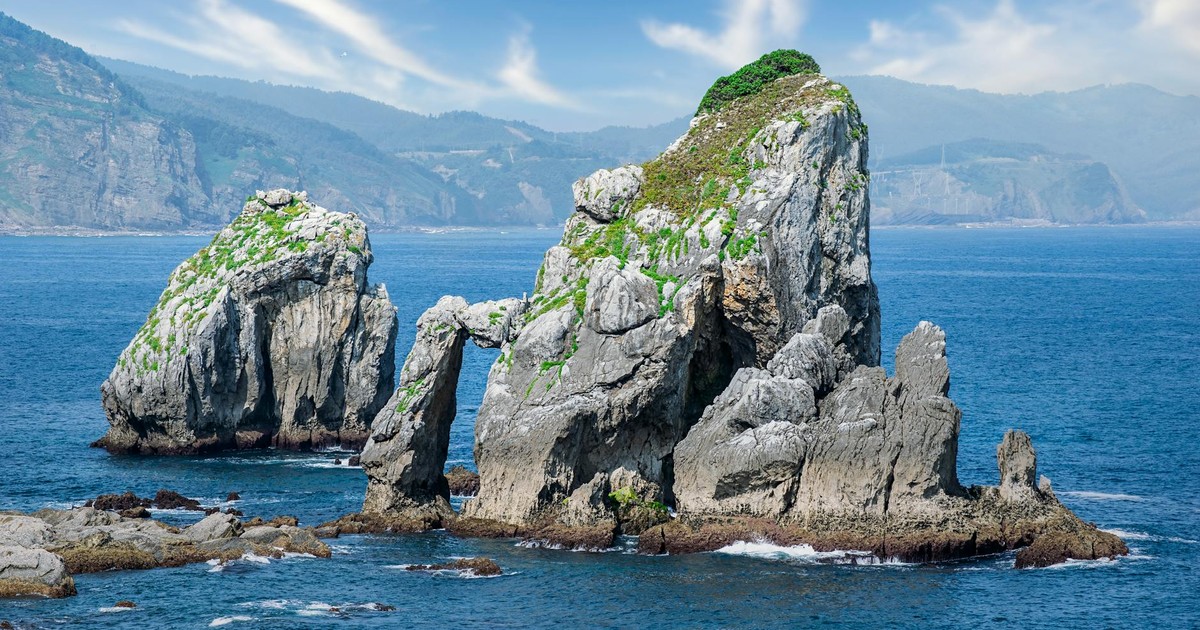
The tides in New Brunswick’s Bay of Fundy are among the highest in the world, rising and falling by up to 50 feet twice a day. For millions of years, those tides have been carving the coastal rock into extraordinary shapes: columns, arches, pillars that look like they were placed there deliberately. Hopewell Rocks Provincial Park became famous for exactly these formations.
Some 200 tons of rocks toppled from the “Elephant Rock” formation in the spring of 2016, turning a peephole arch into a pile of rubble. The scenic spot in Hopewell Rocks Provincial Park was one of the most popular stops for travelers taking in the remarkably wide-ranging tides of the Bay of Fundy. Then, six years later, the area lost another landmark in February of 2022, when Flower Pot Rock toppled during a heavy storm.
Both formations had been photographed by millions of visitors over the decades. Both fell to the same combination of freeze-thaw erosion, salt, and the relentless tidal action that created them. The same force that builds these structures is the force that destroys them, and the Bay of Fundy doesn’t give warnings. Other formations remain in the park, and they too are slowly, incrementally coming apart.
14. Five Solomon Islands
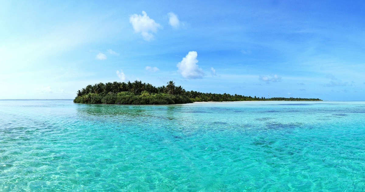
Low-lying Pacific Islands have borne the brunt of rising sea levels, and in 2016, five of the Solomon Islands were swallowed by the sea. The nearby Nuatambu Island may be next. Residents have relocated as the island slowly succumbs, and it has already lost more than half of its inhabitable land.
These were not uninhabited specks of rock. They were islands with names, with histories, with ecological communities that had developed over thousands of years. Three of the five that disappeared had been vegetated, supporting forest cover and bird life. Reef islands of this kind are particularly vulnerable because they rarely rise more than a few meters above sea level at their highest point, and even small increases in sea level or storm intensity tip them permanently under the water.
The Solomon Islands sit in the Pacific Ocean northeast of Australia, and the rate of sea level rise in that region runs higher than the global average due to changes in wind patterns. What happened in 2016 was not a freak event. It was the visible edge of a process that is ongoing, and the islands that disappeared are not coming back.
15. The Larsen B Ice Shelf, Antarctica
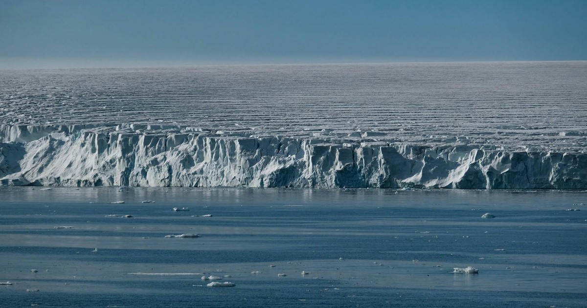
The Larsen B ice shelf had existed on the Antarctic Peninsula for at least 10,000 years. At its peak it covered roughly 3,250 square kilometers of the Weddell Sea, a slab of floating ice the size of a small country. Scientists who studied it knew it had been thinning, but the speed of what happened in 2002 caught almost everyone off guard: over the course of 35 days in late January and February, the shelf disintegrated entirely. Around 3,250 square kilometers of ice collapsed into the sea.
National Geographic and other scientific observers noted that though few humans had ever laid eyes on the icy cliffs of Antarctica’s Larsen shelves, satellites watched in real time as a section the size of Delaware floated free into the Southern Ocean. The Larsen B collapse was the more complete and sudden disappearance. Scientists studying ice cores taken from the shelf found evidence that it had been stable through the entire postglacial period, roughly the last 10,000 years. Then warming temperatures accelerated surface melt and meltwater pooling, which acted like a wedge, splitting the shelf apart from within.
The glaciers that had been held back by the ice shelf began accelerating toward the sea almost immediately after the collapse, contributing to rising ocean levels. The Larsen B event became one of the clearest demonstrations that certain climate tipping points, once crossed, cannot be reversed on any human timescale. A feature that outlasted the entire history of human civilization was gone before most people even knew it existed.
The Permanence Problem
There’s a particular kind of grief that comes with losing something you assumed would always be there. Not the grief of watching a loved one decline, which is at least something you see coming. More like arriving at a place you’ve always meant to visit and finding nothing but a plaque where the thing used to stand.
Every item on this list was permanent right up until the moment it wasn’t. The Pink and White Terraces had been drawing visitors for centuries. The Aral Sea had been there since before written history. The Larsen B ice shelf had been stable for ten thousand years. Some of these losses were entirely natural, the predictable result of geological forces that have been shaping and reshaping the planet since long before humans arrived. Others were accelerated or caused directly by human choices. Several could still happen to things that are currently standing, places that are currently on someone’s bucket list, that are currently being photographed and posted and pinned to travel boards.
That’s the part that doesn’t resolve neatly. These lost natural wonders are not only records of what the Earth once was. They’re reminders that the things we consider fixed are, at best, fixed for now. The ones that are left won’t wait forever. And for some of them, neither will we.
Disclaimer: This information is not intended to be a substitute for professional medical advice, diagnosis, or treatment and is for information only. Always seek the advice of your physician or another qualified health provider with any questions about your medical condition and/or current medication. Do not disregard professional medical advice or delay seeking advice or treatment because of something you have read here.
AI Disclaimer: This article was created with the assistance of AI tools and reviewed by a human editor.